


Frequently Asked Questions
-
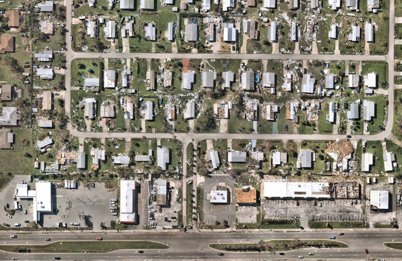
What is aerial imagery?
An image taken from an airborne craft such as a drone or plane. Types of aerial imagery include vertical, low oblique, and high oblique.
-
What is satellite imagery?
Images taken using a series of electronic scanners incorporated in satellites that orbit the Earth. Types of satellite imagery include visible, infrared, and water vapor.
-
What is the difference between aerial imagery and satellite imagery?
Aerial images capture finer details, the capture process is more time and cost-efficient, and they can be used for a wide range of industries - including construction, insurance, real estate, and urban planning.
Satellite imagery captures a wider area, making it perfect for larger scientific applications. Its quality can, however, be compromised by atmospheric and weather conditions.