
New Imagery up to 3 times per year
Introducing: Nearmap for Post-catastrophe Response
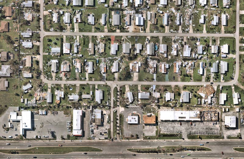
Post-catastrophe imagery and AI-derived property damage and condition data unite to help insurers process customer claims more efficiently.
Post-catastrophe imagery and AI-derived property damage and condition data unite to help insurers process customer claims more efficiently.
Transform your workflows with Nearmap and overcome common property assessment challenges such as lack of manpower, difficulty viewing entire parcels, indiscernible structural changes and time consuming appeals. Easily detect current and temporal changes at scale with our ever-growing library of up-to-date and historical Ortho, Oblique and AI-derived content.
Nearmap enables you to conveniently and accurately inspect land, building structures, hard surfaces, and other taxable items for correct property valuations.
New Imagery up to 3 times per year
Consistent 2.2-3" (5.5-7.5cm) GSD
Catalogs of historical imagery at your fingertips
Stream content withing days of capture
Over 90 million residential & commercial parcels


